[Assawompset School, Lakeville, Massachusetts]
Himalaya Thematic Unit for Second Grade]
| HOME |
| Introduction |
| Where are the Himalaya? |
| Regions within the Himalaya |
| Poetry and other activities |
| Resources |
There are 4 main zones (from north to south) of the Himalaya. The flora and fauna vary within these regions of varying altitudes and climate.
- The thick-crusted Tibetan (Tethyan) Zone
- High Himalaya with snowy summits
- The Lower Himalaya or Middle Mountain Zone
- The Outer Himalaya or Foothills Zone, called the terai in the western or Nepal regions
The Himalaya are oldest in the North. The average rainfall increases from west to east, along the front of the range.
Activity 1: Introduce the climates in the different regions within the Himalaya. To reinforce the idea of the range of climate patterns and flora and fauna within the Himalaya, children will pick an animal to research.
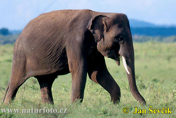
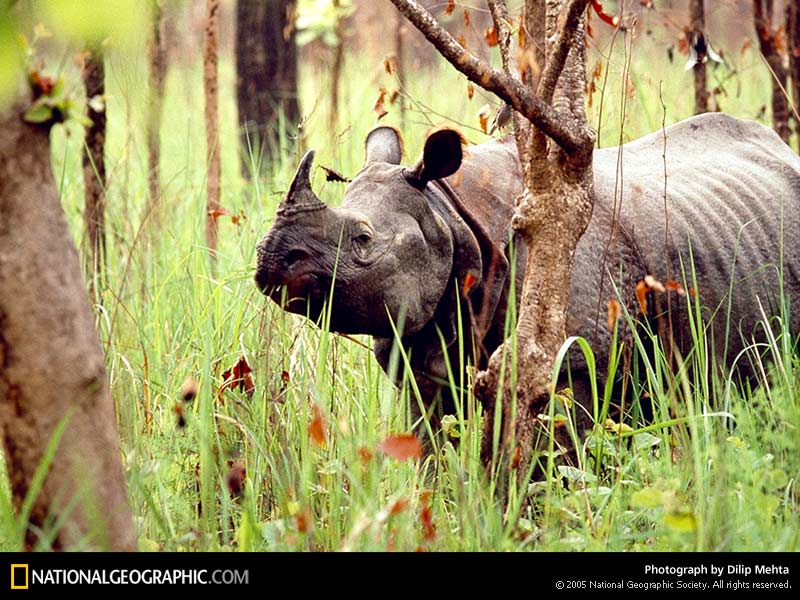
Terai or foothills area: 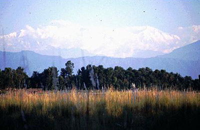
This area of grasslands and moist soil across India, Nepal, and Bhutan is extremely hot in the summer season. There is monsoon flooding in many areas and mosquitoes spread malaria. This area is below 2,500 ft.
Click on the small picture to view a larger image:
 |
 |
 |
 |
 |
 |
Asian Elephant |
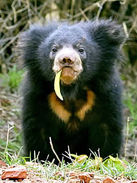
Sloth Bear |
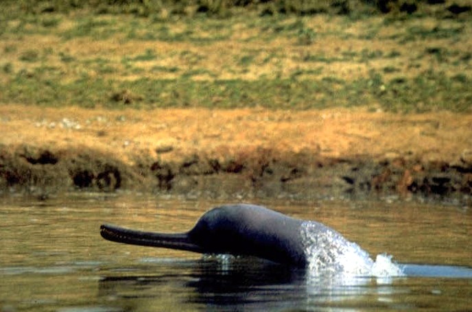
Gangetic Dolphin |
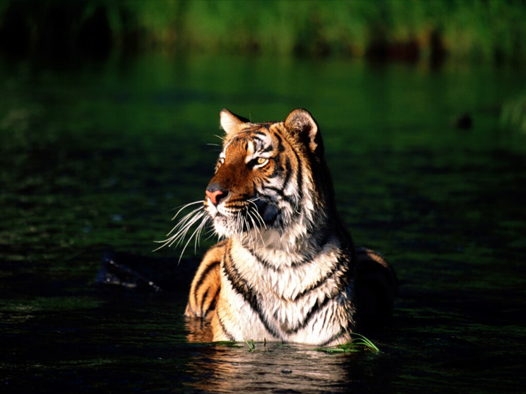
Bengali Tiger |
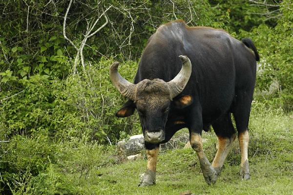
Gaur |
One-Horned Rhino |
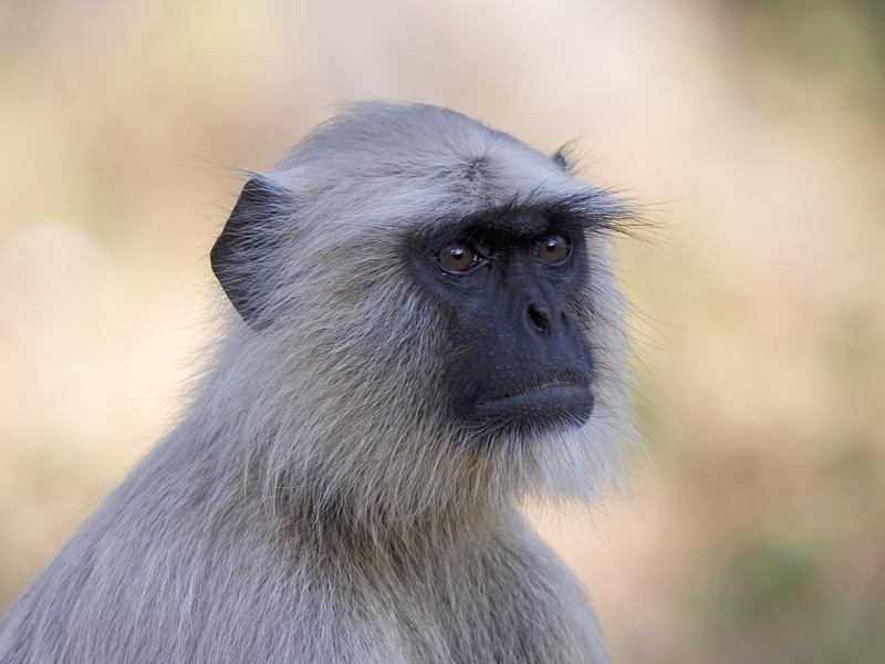
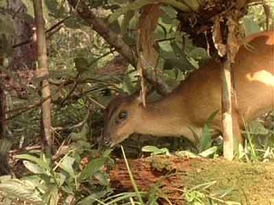
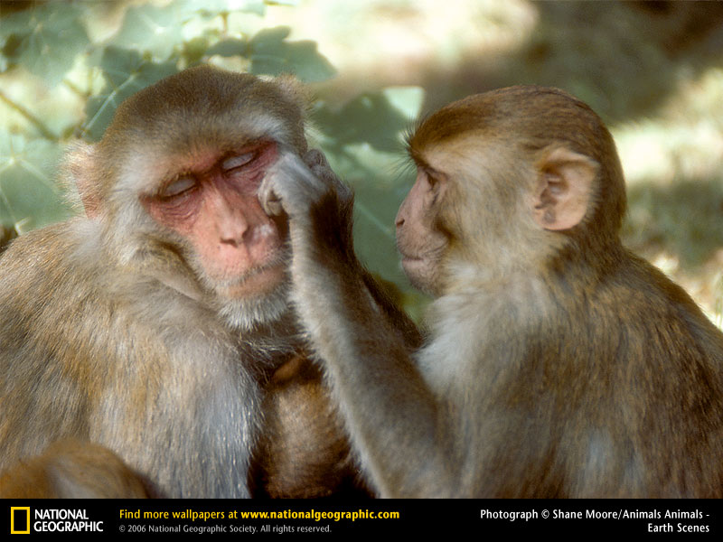
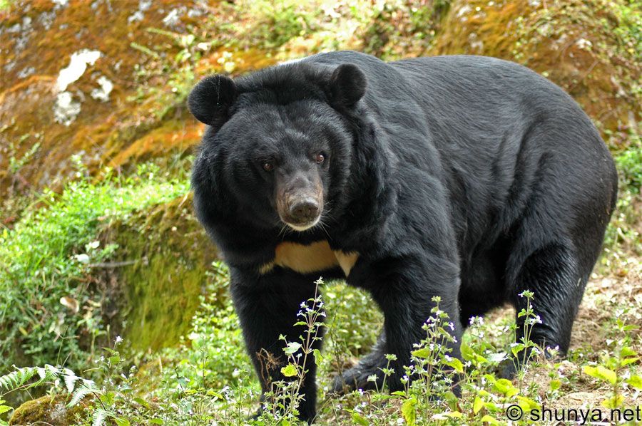
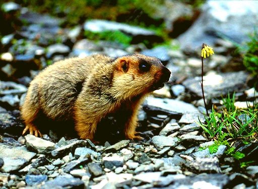
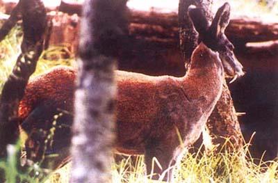
Lower Himalaya or Middle Mountain Zone:
This area of hills between 2,500 ft – 7,500 ft. stretches west from Nepal to West Bengal, Sikkim, and Bhutan. There are high ridges and steep river valleys. People generally live here throughout the year, as the climate is temperate. The monsoon rains are heaviest in the eastern regions.
Click on the picture to view a larger image:
 |
 |
 |
 |
 |
Hanuman Langur |
Barking Deer |
Rhesus Monkeys |
Himalayan Bear |
Himalayan Marmot |
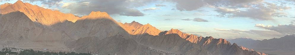
High Himalaya: Pictures of Everest, K2, and other high peaks
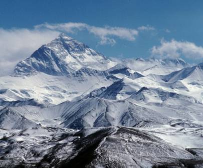
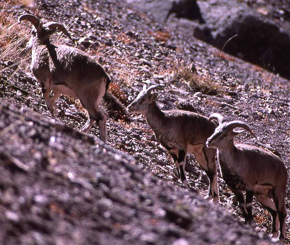
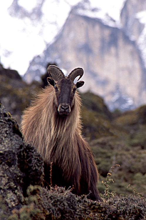
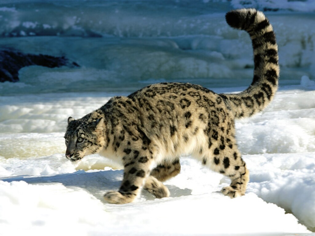
This area spreads across the high area above 8,000 feet from Ladakh, India across Dolpo, Mustang, Sikkim, and Bhutan. This area has extreme cold in the winter, high winds, high mountains with plateaus and valleys linked by high crossing passes between the mountains.
Click on the picture to view a larger image:
 |
 |
 |
 |
 |
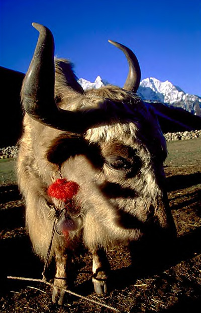 |
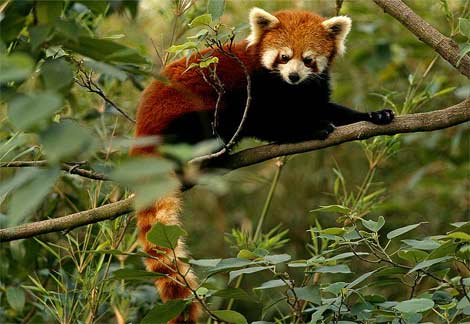
| Blue Sheep | Ibex | Snow Leopard | Musk Deer | Red Panda | Yak |
Center Activity 1: Children will use a computer center to look at the panorama of the peaks surrounding Everest.
PANORAMA
Center Activity 2: Children can see Discovery Channel footage of a sherpa climbing Everest.
SHERPA CAM INTERACTIVE VIDEO
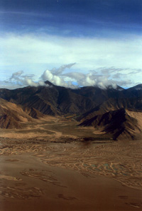
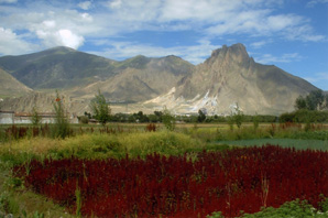
Tibetan Plateau Pictures:
 |
 |
|---|---|
| The Tibetan Plateau from the plane | Picture from a village outside of Lhasa |
The Tibetan Plateau is an alpine desert and pasture land which has glacial lakes and rivers, irrigated river valleys, and areas of rock and mountain. Wheat and barley have traditionally been the primary crops. The Tibetan Plateau covers an area roughly one third of the territory of modern China, approximately the size of the entire Republic of India, or roughly one half the area of the continental United States.
This site was created by Nancy Barboza at the NEH Summer Institute "Literatures, Religions, and Arts of the Himalayan Region,"held at the College of the Holy Cross, Summer 2008.